


Research Summary: Estimating The Volume Of Alpine Glacial Lakes
0Abstract
Supraglacial, moraine-dammed and ice-dammed lakes represent a potential glacial lake outburst flood (GLOF) threat to downstream communities in many mountain regions. This has motivated the development of empirical relationships to predict lake volume given a measurement of lake surface area obtained from satellite imagery. Such relationships are based on the notion that lake depth, area and volume scale predictably. We critically evaluate the performance of these existing empirical relationships by examining a global database of glacial lake depths, areas and volumes. Results show that lake area and depth are not always well correlated (r 2 = 0.38) and that although lake volume and area are well correlated (r 2 = 0.91), and indeed are auto-correlated, there are distinct outliers in the data set. These outliers represent situations where it may not be appropriate to apply existing empirical relationships to predict lake volume and include growing supraglacial lakes, glaciers that recede into basins with complex overdeepened morphologies or that have been deepened by intense erosion and lakes formed where glaciers advance across and block a main trunk valley. We use the compiled data set to develop a conceptual model of how the volumes of supraglacial ponds and lakes, moraine-dammed lakes and ice-dammed lakes should be expected to evolve with increasing area. Although a large amount of bathymetric data exist for moraine-dammed and ice-dammed lakes, we suggest that further measurements of growing supraglacial ponds and lakes are needed to better understand their development.
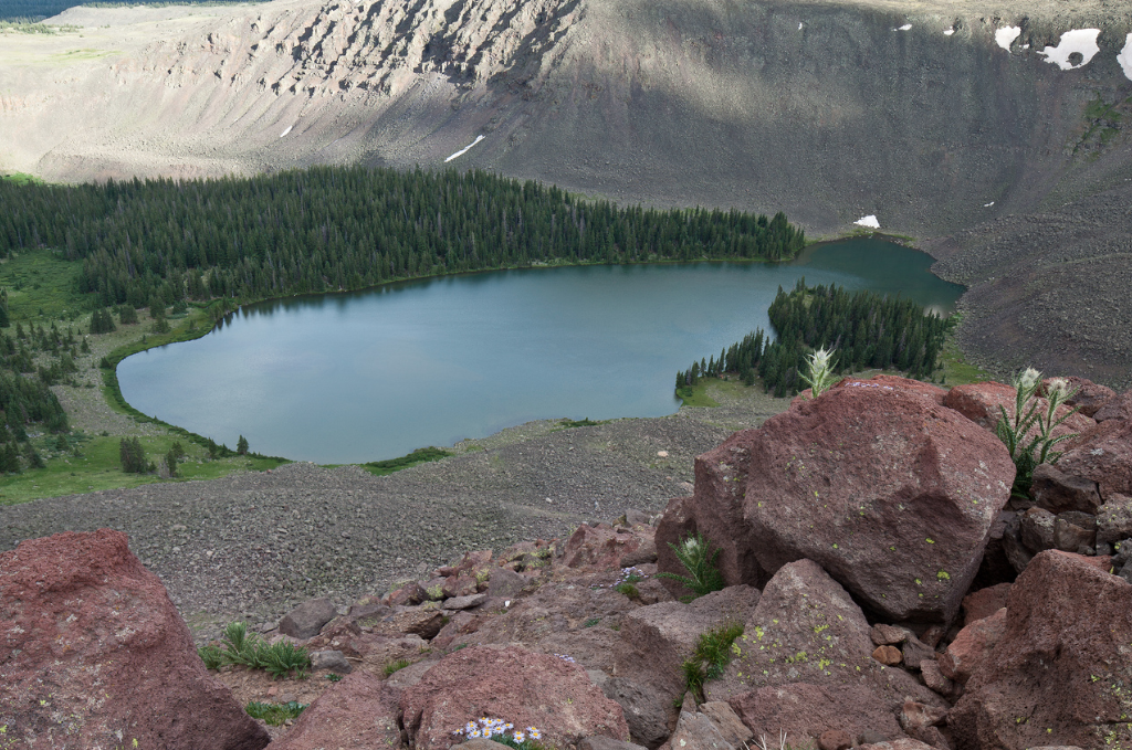
The Powderhorn Wilderness in Colorado. (Credit: Bureau of Land Management / Public Domain)
Introduction
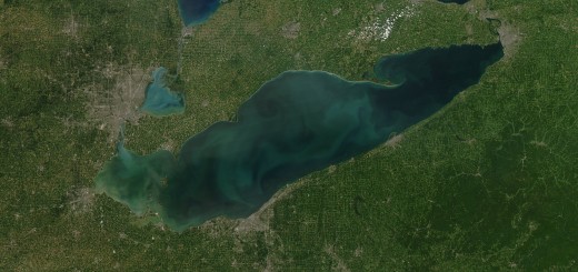
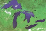
Globally, there is a general trend of mountain glacier recession and thinning in response to climatically controlled negative mass balances (Zemp et al., 2015). In most mountain ranges, glacier shrinkage since the Little Ice Age has been accompanied by the development of proglacial, ice-marginal and supraglacial lakes impounded by moraine and outwash fan head structures (e.g. Röhl, 2008; Janský et al., 2009; Thompson et al., 2012; Carrivick and Tweed, 2013; Westoby et al., 2014). The integrity of these structures often reduces over time as ice cores degrade and slopes are subject to mass wasting processes, raising the concern of dam failure. Further, the location of these lakes in valleys with steep, unstable slopes, often in tectonically active regions prone to earthquakes, means that rock and ice avalanches are common, adding a further threat of displacement-wave overtopping if avalanche material were to impact the lake (e.g. Schneider et al., 2014). Dam failure, breach or overtopping can lead to glacial lake outburst floods (GLOFs) that pose a signifi- cant threat to lives, industry and infrastructure (Richardson and Reynolds, 2000; Westoby et al., 2014). Other potentially dangerous lakes are dammed by ice, either in ice-marginal locations where surface meltwater or water from tributary valleys ponds against the glacier margin (e.g. Merzbacher Lake – Mayer et al., 2008; Lac de Rochemelon – Vincent et al., 2010) or where advancing (often surging) glaciers block river drainage (e.g. Kyagar Glacier – Haemmig et al., 2014). In these situations, water may escape through subglacial tunnels, along the ice margin between the glacier and valley side or by mechanical failure of the ice dam (Walder and Costa, 1996; Clague and Evans, 2000).
Crucial to the management of GLOF hazards is the ability to assess the likelihood and magnitude of any such event. In most cases, this requires an understanding of the volume of water impounded in the lake, the structural integrity and longevity of the dam, potential external trigger mechanisms and the likely flow path of the flood (e.g. Richardson and Reynolds, 2000; McKillop and Clague, 2007; Westoby et al., 2014). There are a number of challenges for anyone interested in estimating or calculating lake volume. Field studies are complicated by the fact that many glacial lakes are located in relatively inaccessible or physically challenging and dangerous environments, making bathymetric surveys of lake basins difficult. As yet, there is no reliable technique available for measuring lake bathymetry or volume from satellite imagery where turbidity precludes the derivation of reflectance–depth relationships (e.g. Box and Ski, 2007). Consequently, a number of studies have adopted an empirical approach to volume calculation from satellite imagery based on known relationships between lake depths, areas and volumes (e.g. Evans, 1986; O’Connor et al., 2001; Huggel et al., 2002; Yao et al., 2012; Loriaux and Cassassa, 2013; Carrivick and Quincey, 2014). This allows rapid and simple calculation of lake volumes from widely available satellite imagery, whilst avoiding the necessity for often challenging fieldwork.
Two key empirical approaches have become adopted for lake volume estimation. First, O’Connor et al. (2001) derived a relationship between lake area and volume for morainedammed lakes of the Central Oregon Cascade Range. Lake volumes were derived from detailed bathymetric surveys. The relationship takes the form
V = 3.114A + 0.0001685A 2 , (1)
where V is lake volume (in m3 ) and A is the surface area of the lake (in m2 ). This relationship has been applied, for example, to assist in the prediction of GLOF hazards in British Columbia by McKillop and Clague (2007).
An alternative relationship was derived by Huggel et al. (2002). First, Huggel et al. demonstrated that lake depth and area were correlated for a combination of ice-dammed, moraine-dammed and thermokarst lakes at a number of locations globally. This relationship takes the form
D = 0.104A 0.42 , (2)
where D is the mean lake depth (in metres), and area is measured in square metres. Hence, Huggel et al. (2002) derived a relationship for volume (in m3 ) with the form
V = 0.104A 1.42 . (3)
As the authors point out, this relationship has much in common with that of the Canadian Inland Water Directorate, cited in Evans (1986), which is based on ice-dammed lakes and takes the form
V = 0.035A 1.5 . (4)
The relationship of Huggel et al. (2002) has gained significant appeal and has been applied directly in several studies to estimate lake volume (e.g. Huggel et al., 2004; Bolch et al., 2011; Mergili and Schneider, 2011; Jain et al., 2012; Gruber and Mergili, 2013; Wilcox et al., 2013; Byers et al., 2013; Che et al., 2014) or has been modified for specific locations (e.g. Loriaux and Cassassa, 2013; Yao et al., 2012). Importantly, however, there has been no systematic assessment of whether these empirical relationships can be applied confidently across a range of locations and contexts (e.g. ice-dammed, moraine-dammed, supraglacial). Further, the relationships presented in Eqs. (1), (3) and (4) are based on the assumption that lake area and volume should scale predictably. However, glaciers are known to erode basins with complex morphometries, meaning that associated lakes may have complex bathymetries and hence more unpredictable depth–area–volume relationships (e.g. Cook and Swift, 2012). Likewise, lake depths and hypsometries may be determined on a local scale by sedimentation or, where a lake develops supraglacially, by the underlying ice and debris surface. Empirical volume–area relationships can also give a misleading impression of the predictability of lake volumes because lake volume is dependent on area (Wang et al., 2012; Haeberli, 2015). Hence, higher degrees of correlation between lake area and volume often mask the complexity of lake basin morphometry. In this study, we test the extent to which lake depth, area and volume are correlated under a range of scenarios based on a compilation of published data sets of lake basin morphometries. In particular, we examine the error between published lake volume estimates based on interpolation from bathymetric measurements compared to volumes calculated by using the empirical relationships of O’Connor et al. (2001), Evans (1986) and Huggel et al. (2002).
Full study, including methods, results and discussion, published online in the open-access journal Earth Surface Dynamics.