


Research Brief: Data Asynchrony Among Real-Time Data Buoys in Western Lake Erie
0The use of real-time data buoys, in particular, has become a popular approach to lake monitoring applications due to the ability to equip systems with air, surface water, and bottom water sensing instruments. However, these data buoys are stationary and remain deployed at a single point in a water body, limiting the spatial reach of the data—particularly in larger water bodies like the Laurentian Great Lakes, where water quality can vary drastically. This limited spatial representation can lead to asynchrony in data at different points in the lake.
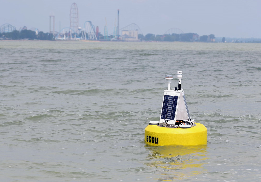
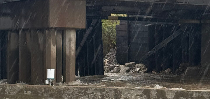
A NexSens data buoy deployed in Sandusky Bay in Lake Erie. (Credit: Fondriest Environmental)
A 2024 article published in PLOS ONE examined the extent of asynchrony of key water quality parameters between real-time data buoys in the western basin of Lake Erie.1
The hypothesis of the study was that “physical and biochemical complexity will lead to asynchrony in biological and chemical parameters, including dissolved oxygen, chlorophyll, and turbidity.”1 Additionally, water quality conditions driven by large-scale external processes, like water temperature, will exhibit synchrony.1
Methods
To test this hypothesis, data from a multi-institutional monitoring network of data buoys in the western basin were observed and compared. Dissolved oxygen, chlorophyll, temperature, and turbidity data were pulled from 10 pairs of data buoys deployed at different locations on the lake. Data was acquired using the Seagull-GLOS platform and includes data from May-October in 2021 and 2022.
Lake Erie was chosen as the research site for two reasons. First was data availability due to the local and federal interest in monitoring recurring cyanobacterial blooms, leading to annual deployments of environmental monitoring buoys. Second, Lake Erie represents a large, complex lake ecosystem that is spatially heterogeneous both biologically and chemically.
Asynchrony amongst parameters was evaluated using Pearson correlation, dynamic time warping, and Moran’s Index.

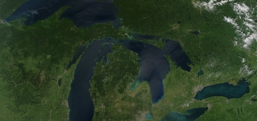
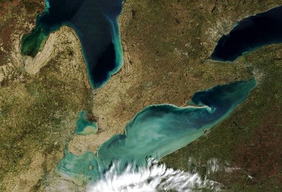
(A) Lake Erie and the western basin in the Laurentian Great Lakes Region of North America, (B) deployed buoy locations in 2021 (red), 2022 (blue) and both years (black). Arrows represent typical prevailing circulation patterns in August in the western basin. Bathymetry data was acquired from NOAA. (Credit: Stevens et al., 2025)
Results
Low synchrony or asynchrony occurs in monitoring applications where there are extreme differences in environmental conditions. This means that monitoring efforts with low spatial resolution cannot accurately, fully capture the ecosystem—such would be the case in Lake Erie’s western basin if not for the multiple buoys deployed each year.
Instead, the network of buoys was able to capture the asynchrony of dissolved oxygen, turbidity, chlorophyll, and phycocyanin between buoy pairs. Chlorophyll and phycocyanin displayed similar patterns, while turbidity was highly variable both spatially and temporally. Water temperature had the highest synchrony between pairs of buoys.
A linear model determined the average distance between buoys needed to accurately capture environmental data, given the asynchrony of certain parameters.1
- Temperature – 108.10 km
- Dissolved oxygen – 20.88 km
- Turbidity – 24.34 km
- Chlorophyll – 17.61 km
- Phycocyanin – 46.43 km
These results suggest that water temperature at one site would be relevant for most of the basin, while other water quality parameters require monitoring at multiple points. Therefore, in spatially heterogeneous regions, multiple deployments are necessary to make conclusions about ecosystem health and management.
Source
- Stevens, C., Frost, P. C., T. Pearce, N. J., Kelley, J. D., Zastepa, A., & Xenopoulos, M. A. (2025). Limnological data derived from high frequency monitoring buoys are asynchronous in a large lake. PLOS ONE, 20(3), e0314582. https://doi.org/10.1371/journal.pone.0314582