


Research Brief: Influence of Stormwater Management Ponds on Chloride Influxes
0Road salt (Sodium chloride) is the most common de-icing agent used on roadways in North America, and while sodium chloride is effective, runoff from roadways in the spring and winter leads to the salinization of nearby waterbodies. In particular, stormwater management ponds (also known as stormwater retention ponds) are inundated with high concentrations of chloride (Cl−) during snowmelt or precipitation events.
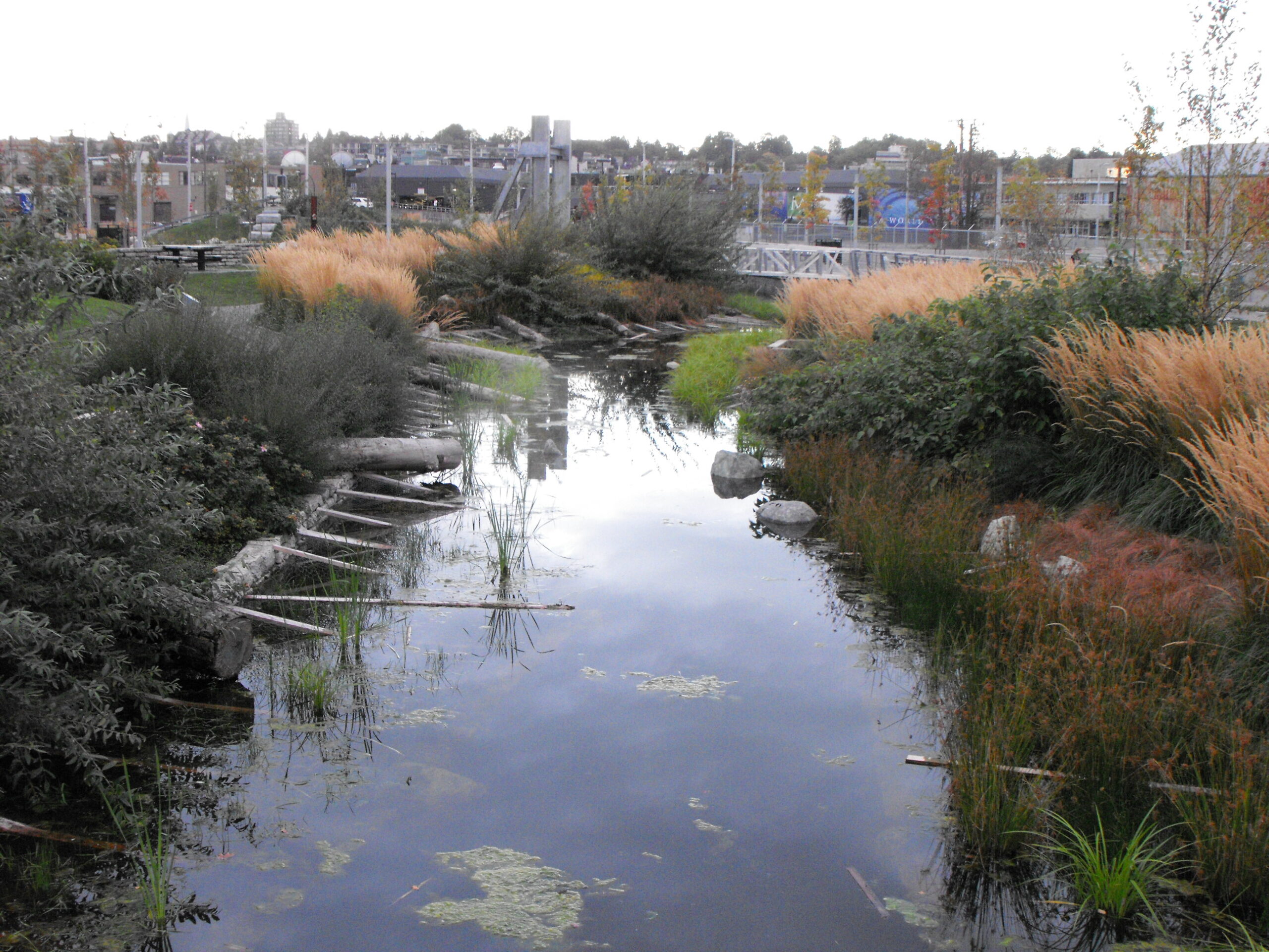
Stormwater management pond located on the south side of False Creek near downtown Vancouver, BC. (Credit: John Luton via Flickr CC BY 2.0)
While designed to divert and store contaminants and protect natural waterbodies from exceeding recommended concentrations of various nutrients, this loading of stormwater management ponds often just delays the flooding of nutrients into streams, rivers, or lakes, leading to influxes later in the season.
A 2024 study published in the Journal of Great Lakes Research aimed to evaluate the prevalence of stormwater management ponds as contributors to elevated stream Cl− concentrations and identify exceedances of the Canadian Water Quality Guidelines for the Protection of Aquatic Life (CWQG) for Cl− concentrations downstream of stormwater ponds.1
Methods
Five headwater streams (i.e., upper-most segments of river systems) across multiple watersheds in southern Ontario were selected for the study. These streams receive flow inputs from stormwater management ponds and were monitored from September 2021 until April 2023. A combination of manual sampling and continuous monitoring was performed.
Two monitoring periods were compared: November 2021 to April 2022 and November 2022 to April 2023. The salting period was defined as the months between November and April for both periods.
For the first salting season, grab samples in the streams were taken bi-weekly to develop a relationship between specific conductivity and Cl− concentration. Snowmelt and rain events were sampled during the second salting season.
Solinst Levelogger sensors continuously measured water level, temperature, and electrical conductivity in each stream from September 2021 until April 2023.
In order to determine the optimal design for stormwater management ponds, bottom-draw and top-draw ponds were compared to see which was most successful at preventing exceedances.
Results
For most of the salting season, stormwater management pond contributions exacerbate downstream Cl− concentrations and, in some cases, were the primary driver of CWQG exceedances.1
Bottom-draw ponds were found to accumulate Cl− and flush rapidly following a rain or melt event, releasing higher concentrations over the season. In contrast, top-draw stormwater management ponds accumulated Cl− throughout the salting season and released diluted concentrations near the end of the season.1 Additionally, large upstream catchments led to diluted stormwater management pond contributions and, therefore, lower downstream Cl− concentrations.
The results suggest that top-draw stormwater management ponds with larger upstream catchments seem to be most effective in preventing exceedances in the observed region.
Source
- Momin, H., Ross, C., Weatherson, W., Drake, J., Oswald, C. Influence of stormwater management ponds on chloride transport to urban headwater streams, Journal of Great Lakes Research, 2024, 102442, ISSN 0380-1330, https://doi.org/10.1016/j.jglr.2024.102442.