Wetland Restoration — Silver Lake
0Project Overview
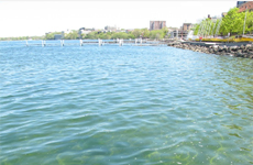
The Silver Lake Wetlands are unique and complex. An ancient glacial kettle lake surrounded by hills of gravel soil deposits has existed since shortly after the Wisconsinan Glacier retreated some 15,000 years ago.
One of Ohio’s best examples of a freshwater fen is located on the northwestern side of the lake. Despite drainage attempts over the last century, the lake and fen maintain their integrity.
To aid in the understanding and preservation of the existing wetlands and fens and the restoration of the degraded marshes and wet meadows, an automated hydrologic monitoring system was installed at Silver Lake.
System Description
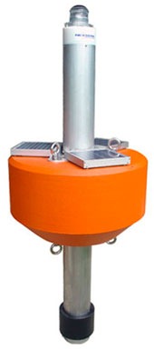
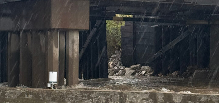
At various locations throughout the wetlands, NexSens radio telemetry, YSI 600 LS multi-parameter sondes with temperature, conductivity, and water level sensors, and RM Young tipping bucket rain gauges were installed.
From each location, data are collected and transmitted via a license free, spread spectrum radio to a nearby farm, where a NexSens radio/modem is connected to a telephone line. On a periodic schedule, a computer calls to the remote project site, collects the data, and posts it to a WQData.com datacenter.
Researchers at Miami County Parks, University of Dayton, Wright State University, and the Ohio EPA all have access to this data via the Internet, aiding in the research, understanding, and preservation of the wetlands.


